Please join us at UBC Library for this year’s GIS Day celebrations featuring several GIS- and map-related presentations, as well as a social gathering afterward at Koerner’s pub. Coffee and refreshments will be provided during the event, but lunch will be on your own.
Registration is encouraged and appreciated, but not required, and registrants are free to come for portions of the day as their schedules permit. Communications about the event will be sent via email, so stay tuned for more information leading up to the day. Coffee and refreshments will be served.
9:00 am – 9:30 am
Coffee and Refreshments
9:30 am – 9:40 am
Welcome
9:40 am – 10:30 am
Keynote Presentation
Mapping Is Not Enough: Native-Land.ca and the need for community engagement.
Victor Temprano – Founder of Native-Land.ca and CEO of Mapster
Native-Land.ca, the popular website mapping Indigenous lands, has stimulated conversations and provided open information about traditional territories for over four years now. Yet, we feel we are still at the beginning of our project. The non-profit now running the site has a clear directive: make the site one that is by Indigenous people rather than about Indigenous people. While mapping has proved a powerful tool to engage the public in much-needed conversations about land, this talk will largely focus on Native Land’s plans as we continue to grow.
10:30 am – 10:40 am
Break
10:40 am – 11:10 am
Map-based Research Data Discovery: The Geodisy Project
Paul Dante – Software Developer, UBC Library
Mark Goodwin – Metadata Coordinator, UBC Library
With increasing demand for geographic components in research, there is an opportunity for research data repositories to provide alternatives to text-based searching. The goal of the CANARIE-funded Geodisy project is to create an extensible open-source software method to discover Canadian geospatial research data using a map interface. In this session, we will share the project design and our progress toward normalizing various metadata sources into discoverable geospatial metadata.
11:10 am – 11:40 am
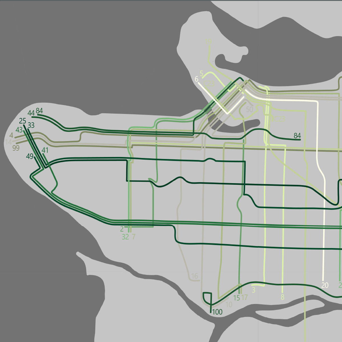
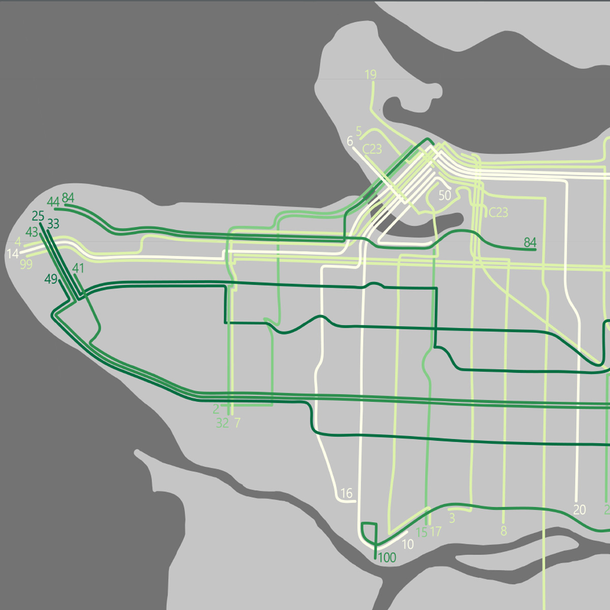
Vancouver Green Bus Atlas
Agatha Czekajlo – MSc Student, Integrated Remote Sensing Studio, UBC Faculty of Forestry
The Vancouver Green Bus Atlas, UBC’s 2019 Esri Canada GIS Scholarship winning project, classifies the amount of trees lining Vancouver’s bus routes. Using Google street-view imagery, the level of tree greenness portrays what we experience day-to-day. Bus routes were ranked according to their overall (median) greenness and its variability (standard deviation). Providing commuters with greener views can benefit their well-being and encourage continued use, thus helping reduce carbon emissions and reach sustainability goals.
11:40 am – 1:00 pm
Lunch on your own
1:00 pm – 1:30 pm
Mapping urban trees with deep learning and street-level imagery – a story of geospatial open source software
Stefanie Lumnitz – MSc Candidate, UBC Faculty of Forestry
I believe that Geographical Information Science can greatly benefit from open source methods and developments in Artificial Intelligence and Computer Vision. In this talk I will demonstrate how we can map and classify urban trees from street-level imagery like Google Street View in order to support proactive and informed decision making for urban greenspace management. I will share lessons learned on the application of deep learning and open source software in GIS for urban forestry.
1:30 pm – 2:00 pm
Forget Points and Polygons: Let’s Talk Place
Bruce Muir – Senior Environmental Planner, West Moberly First Nations
This presentation introduces a study that uses a place-based approach to map the traditional ecological knowledge (TEK) of Indigenous hunters in northeast British Columbia relating to mineral deposits (licks). Traditional practices and the conventional approach of environmental management are juxtaposed to illustrate effectiveness. Preliminary findings suggest that the approach improves the depiction of TEK, including how spatial information and the interrelations are represented as points, lines, and polygons so that places are accurately mapped.
2:00 pm – 2:30 pm
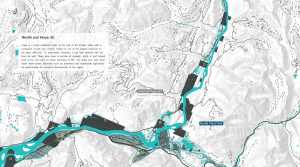
Designing a Geographically Expressive Map for the Rockies
Jeff Clark – Principal and Map-making guy @ Clark Geomatics
In designing a map of one of the world’s most magnificent places I wanted to evoke a sense of awe of the wild landscape. To advance geographic interest in and awareness of these grand wilderness areas I decided to create a map that is attractive, tells a story and is geographically expressive. By focusing on visual clarity and precise communication of details to engage readers, it provides a sense of place. Having the map included in the NACIS Atlas of Design was a bonus.
2:30 pm – 2:40 pm
Break with Refreshments
2:40 pm – 3:10 pm
Turning old data into big data: a spatiotemporal history of ecosystem services across British Columbia
Ira Sutherland – PhD Student UBC Department of Forest and Conservation Sciences
Jeanine Rhemtulla – Assistant Professor, UBC Faculty of Forestry
Ecosystems contribute to human wellbeing through cultural experiences, the provision of food and timber, and the regulation of hydrological flows and climatic conditions. However, ecosystem services are dynamic and subject to declines and occasional collapses, especially on a rapidly changing planet. We aim to monitor the dynamics in multiple ecosystem services across all of British Columbia over the past 100 years. Our compilation and analysis of historical data will offer insight into how management and policy approaches have increased and, in other cases, destabilized ecosystem services throughout the history of British Columbia.
3:10 pm – 3:40 pm
Digitization in Context: Map digitization at the City of Vancouver Archives
Sharon Walz – Digital Archivist, City of Vancouver Archives
Digital Archivist Sharon Walz discusses the City of Vancouver Archives’ ongoing digitization efforts, with specific reference to the institution’s cartographic holdings and the challenges and opportunities that can arise at the interface between archival practice and non-traditional uses.
3:40 pm – 3:50 pm
Break
3:50 pm – 4:20 pm
Designing a geospatial pedagogy for the Anthropocene: Bridging landscape architecture and geography through GIS
Douglas Robb – PhD Candidate, UBC Geography
David Zielnicki – Instructor, UBC School of Architecture + Landscape Architecture
Geography and Landscape Architecture share a longstanding
history through Geospatial Information Systems (GIS). However, this history often overlooked in design and cartographic education. Our presentation reflects upon the disciplines’ shared commitment to GIS theory and practice through the lens of a single course taught by two instructors (one a landscape architect, the other a geographer). We argue this fundamental, but undertheorized relationship merits deeper consideration in the context of climate change and the Anthropocene.
4:20 pm – 4:50 pm
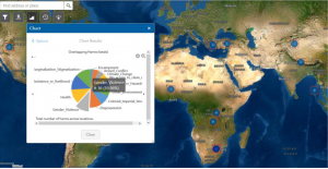
Reproducible geo-spatial analysis based on census and other Canadian data
Jens von Bergmann – MountainMath Software and Analytics
We showcase reproducible workflows to access and analyze Canadian census and other geospatial data using open source packages in R. Canada’s high-quality fine-geography census data offers opportunity for interesting data analysis, but also presents challenges. This talk walks through an example analysis, where we pull in multi-year census data, make it comparable through time, run an analysis, and deal with problems like spatial autocorrelation as they come up.
4:50 pm –
Social Gathering at Koerner’s Pub
For more information please contact Evan Thornberry (evan.thornberry[at]ubc.ca).